More than four corners
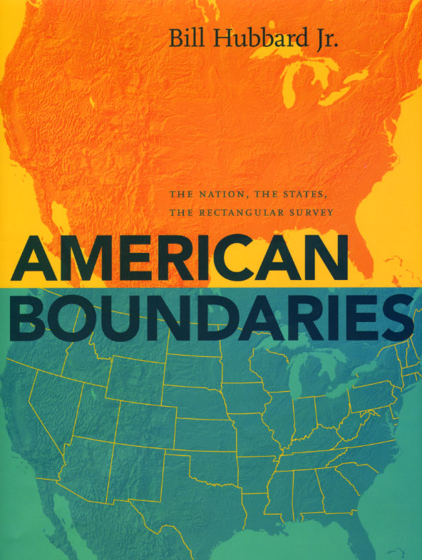 In his new American Boundaries: The Nation, the States, the Rectangular Survey, the first book to chart the growth of the United States using the boundary as a political and cultural focus, Bill Hubbard Jr. makes a point of recounting February 24, 1863—the day Congress created a new Arizona Territory from the western half of New Mexico Territory.
“By tying the Arizona-New Mexico border directly to the southwestern corner of Colorado,” Hubbard writes, “Congress ensured our right as Americans to travel to the Four Corners National Monument and put one foot or hand into each of four different states.”
But as it turns out, the many Americans who have since done so may have been a bit misguided. As the Discovery Channel’s Global Science Blog (among other sources) points out, recent reports suggest that “the Four Corners monument was built at least 1,800 feet from the technically correct spot where four states meet.”
How did this happen? USA Today notes that “the area was first surveyed by the U.S. government in 1868, but it turns out that surveying errors misplaced the spot of the popular monument.”
Errors aside, though, surveyors made great and often unheralded contributions to the way we experience our country. And in American Boundaries, Hubbard brings those contributions to life, explaining how the rectangular survey spread outward from its origins in Ohio, with surveyors drawing straight lines across the face of the continent.
Mapping how each state came to have its current shape, Hubbard’s chronicle travels far beyond the four corners, telling the stories not only of New Mexico, Arizona, Colorado, and Utah, but of all fifty distinctive jigsaw puzzle pieces that make up United States.