The Weather Behind the Air France Tragedy
 It has been more than five days since Air France Flight 447, en route to Paris from Rio de Janeiro, disappeared over the Atlantic Ocean, and the fate of the plane, and its 228 passengers, is still a mystery. Despite a massive sea search, debris from the crash has been difficult to locate, and today Brazilian officials announced what had been pulled from the ocean thus far was likely not from the doomed flight. The cause of the catastrophe, as well, remains a topic of heated speculation: the flight encountered bad weather and turbulence four hours into its journey, but was that enough to cause a modern jet to plunge into the sea?
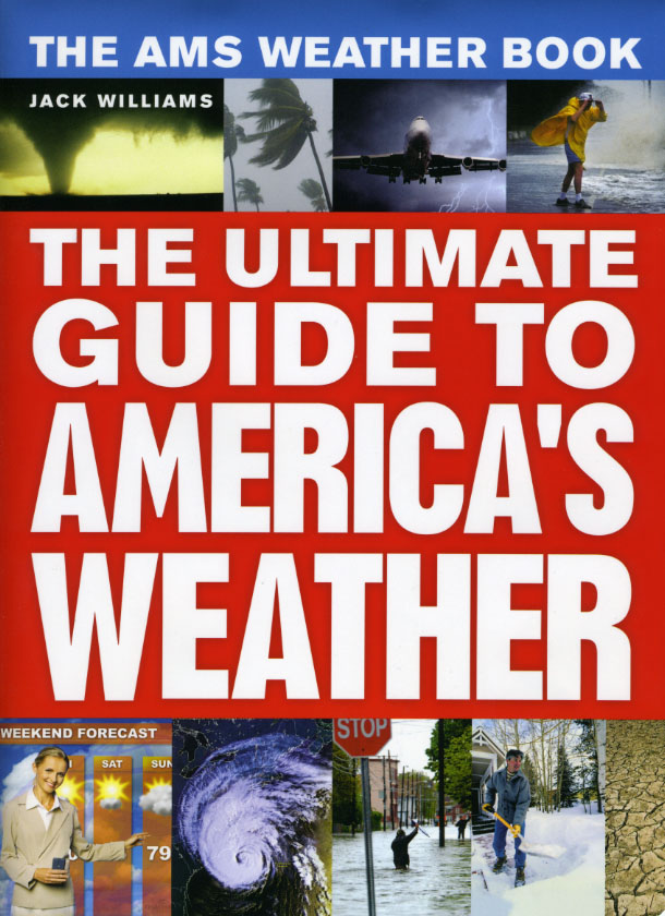
Our weather and aviation expert Jack Williams, author of The AMS Weather Book: The Ultimate Guide to America’s Weather, is back to discuss how his book can help everyone—from reporters and pilots to lay men and women—better understand the weather related to the crash.
Most news stories about the June 1 crash of Air France Flight 447 into the Atlantic Ocean mention that it was flying through an area of thunderstorms when it went down, but these stories leave readers hungry for more information.
The crash has also left many reporters, producers, and editors hungry for the weather knowledge they can use as they try to explain the crash to readers and viewers.
Tim Vasquez, who was an Air Force forecaster who worked in the tropics, is satisfying this hunger for reliable information with his detailed meteorological analysis of the crash on his Web site. As many news stories have noted, the thunderstorms that might have brought down the Air France Airbus were too far from land to be seen by weather radar.
The jet’s onboard radar would have seen the storms, but not in the detail that land-based Doppler weather radar would have. In his analysis, Vasquez explains why their air-borne radar might not have given pilots a real appreciation of the conditions they seem to have flown into.
Vasquez uses satellite images, conventional weather charts, and his meteorological knowledge to come up with his informed opinion of what the Air France jet ran into.
In brief, he says the jet was flying through the kind of weather system known as a mesoscale convective system (MCS). As I explain on Page 215 of The AMS Weather Book, “…’mesoscale’ refers to weather on a middle-size scale [a few miles to a few hundred miles across]. ‘Convective’ indicates that convection, the vertical air movements at the heart of thunderstorms, is involved. ‘System’ means that each storm in a line or cluster of thunderstorms is part of something larger, not just one of several storms that happen to be near each other.”
Broadcast meteorologists who read Vasquez’s analysis will know what he’s talking about. Other reporters, producers, or editors, or men and women who want to understand more about what could have caused the crash will be lost by terms and statements in his report. These include “CAPE,” “intertropical convergence zone,” and “enhanced evaporational cooling in the upper troposphere enhancing downdraft production.”
The AMS Weather Book explains all of these terms and more, such as how Doppler weather radar works and why it can’t “see” over the horizon, what weather satellites see, and why thunderstorms are especially dangerous to aircraft.
It is a must-have reference to reporters and editors who want to understand what meteorological terms mean when they are part of a breaking, important news story. As the Air France crash shows, one never knows when the atmosphere will become a key part of an important, breaking news story.
For more on Jack Williams and The AMS Weather Book, follow them on Twitter: @weatherjackwill and @amsweatherbook. And for more from the book, check out supplemental material on this website.