Calling All Bostonians!
This October, we are incredibly excited to be publishing The Atlas of Boston History. This landmark volume traces the city’s history and geography from the last ice age to the present with beautifully rendered maps, hundreds of historical and contemporary illustrations, and explanatory text from historians and other experts. In lavishly produced detail this atlas offers a vivid, refreshing perspective on the development of this iconic American city.
Advances recently arrived at the press offices, and they are gorgeous! We can’t wait until it publishes on October 22, so we’re giving our readers a sneak peak at some of the lovely interior spreads and part of the preface, including detailed info on the book’s content. Scroll down for info about the Boston events scheduled with editor Nancy Seasholes.

The Atlas of Boston History is a unique addition to works about Boston history. The first historical atlas of Boston, it traces the city’s history through maps drafted especially for the work by a team of cartographers. These maps and their accompanying texts, illustrations, and graphs tell the story of Boston’s development from the end of the last ice age to the present. The atlas should thus be a valuable resource for all those interested in Boston’s history.
The content of the atlas was determined by a group of historians who work on Boston history. Their objective was to explain the transformation of Boston from a small village in the 1600s to the present modern city. To this end, the historians decided that the emphasis of the atlas should be on the physical development of Boston and its infrastructure, economic changes, the various demographic groups that have populated the city, and social and cultural developments more than on political events and politics in Boston. The historians wanted to present the material as a narrative story, so the atlas is organized chronologically rather than topically, as are some historical atlases.
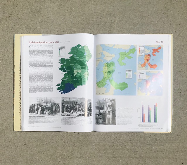
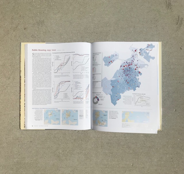
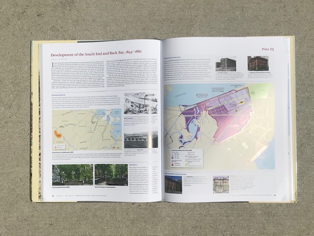
The Atlas of Boston History is divided into eleven roughly chronological sections. Section I describes Boston’s geological setting, Native American occupation of the Boston area before the arrival of Europeans, and European explorers and settlers in Massachusetts Bay before Boston was founded. Section II covers the founding of Boston in 1630, its economy in the 1640s, relations with Native Americans through King Philip’s War, and a description of the town in 1676. The 1676 description is the first of a series of plates (the double-page spreads that constitute the main body of the atlas) interspersed throughout the atlas that describe the demography and economy of Boston in a specific year. Section III discusses Boston in the 1700s: its economy, participation in the slave trade, the town in 1743, and events of the Revolutionary War era. Section IV includes plates on the economy from the Revolution to the Embargo of 1807, the town in 1800, and physical changes—early bridges and turnpikes connecting Boston to the mainland as well as additions of land to Boston itself. Section V covers the development of railroads and Boston’s relation to various mid-1800s social and cultural movements: landscaped public spaces, the literary world, reform movements, and abolitionism. Section VI discusses mid-1800s economic and demographic developments in Boston: Irish immigration, population and economy in 1855, development of the South End and Back Bay, Great Fire of 1872, and addition of land. Section VII concerns the development of the metropolitan Boston area with plates on the annexation movement, growth of the outlying sections of the city, and development of the public transportation, water, sewerage, and park systems. Section VIII deals with Boston at the turn of the 1900s—its economy; leisure time activities such as sports, burlesque, legitimate theater, and cultural institutions; women’s enterprises and social services; and the city in 1910 and the mayoral election that year. Section IX covers the subsequent period of decline with plates on Boston’s long depression from 1920 to 1960, public housing, and the city in 1950. Section X is about the period of revival that followed with plates on changes to the infrastructure—addition of land, highways, airport, and public transportation—and important developments in this era—suburbanization, urban renewal, and the busing crisis. The last section, Section XI, has three plates about updates to the infrastructure: water, sewerage, highways, and public transportation; four plates about the basis of the present economy: higher education, medicine and biotech, commercial offices, and the visitor/tourist industry; a plate about environmental problems; and in conclusion a plate about Boston in 2010.
—from the Preface, by Nancy Seasholes

EVENTS
Thursday, October 24, 2019
Book Launch
Boston Public Library, Copley Square
700 Boylston Street, Boston, MA
6:30 pm
Talk by editor Nancy Seasholes in Rabb Hall; question and answers (with other Atlas authors participating); book sale and signing
Wednesday, October 30, 2019
Porter Square Books
Porter Square Shopping Center, Cambridge, MA
7:00 pm
Talk by editor Nancy Seasholes; book sale and signing
Thursday, November 14, 2019
Massachusetts Historical Society
1154 Boylston Street, Boston, MA
5:30 pm
Reception; talk by editor Nancy Seasholes and panel discussion with
contributors Bob Allison, Dick Garver, and Jim Vrabel; book sale and signing
Monday, March 23, 2020
South Boston Historical Society
South Boston Library, 646 East Broadway, Boston, MA
6:30 pm
Talk by editor Nancy Seasholes; book sale and signing
The Atlas of Boston History is available for pre-order now on our website. It will be available from bookstores and online retailers October 22.